
High-tech
Our company has consistently prioritized technology R&D, driven by the goal of "innovation-led success through intelligence." We have achieved significant milestones in standard development, research projects, industry awards, and proprietary intellectual property.
Research Achievements
Led national and provincial-level research projects, continuously driving technological innovation and commercialization.
Product Business
Our company has independently developed multiple core products and holds nearly 100 software copyrights. Below are some representative achievements.
Honors & Awards
Winner of numerous honors, including the Gold Award for Excellent Engineering in China's Geographic Information Industry and the Special Prize for Progress in Surveying and Mapping Technology.
Research Breakthroughs
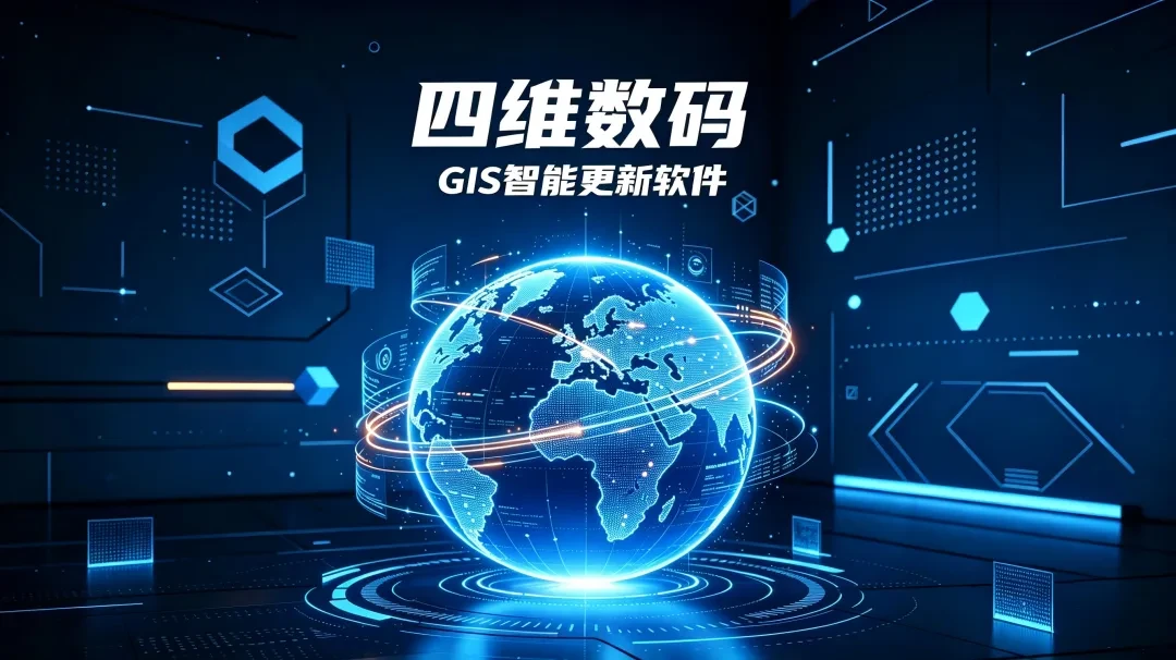
Tech Innovation: Say Goodbye to Inefficient Manual Mapping! The Era of AI-Driven Full Automation for GIS Data Updates Has Arrived
The GIS Intelligent Update Software leverages fully automated event-driven listening and AI-powered processing to automate the entire workflow of GIS data—from collection, processing, transformation, and generalization to incremental updates—enabling a new paradigm for synchronized map updates.
Read full article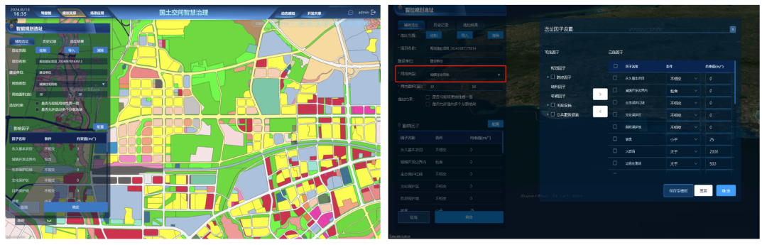
Break Industry Barriers! Tie-Ortho eliminates the need to switch between multiple software tools, enabling fully automated, unattended mass production of DOMs.
Tie-Ortho, a multi-source remote sensing image production software, completely redefines the traditional DOM production workflow with five core advantages: fully customizable unattended processing, high-precision handling, and extreme efficiency optimization.
Read full article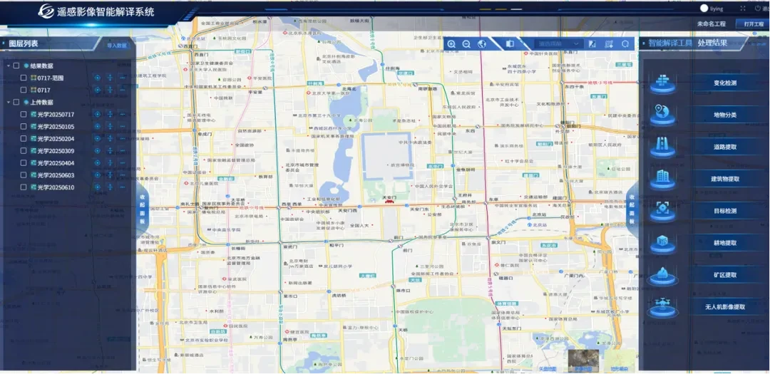
Reshaping Remote Sensing Interpretation | Domestic TIE-RSIS Software Achieves 82% Accuracy and 50x Efficiency Boost
The Intelligent Remote Sensing Interpretation System (TIE-RSIS) has achieved breakthroughs in accuracy and efficiency, significantly outperforming leading domestic alternatives with a 50-fold increase in speed.
Read full article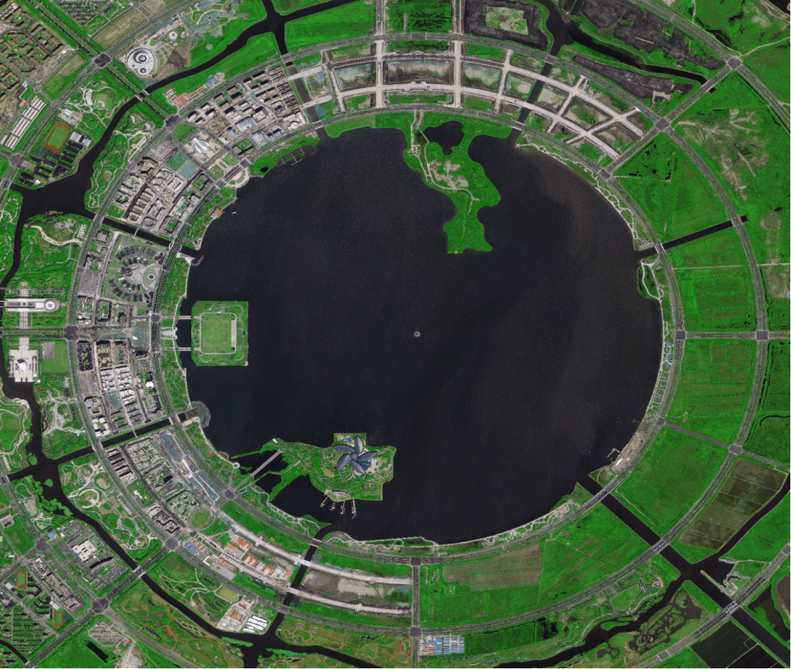
Say Goodbye to Manual Work, Embrace Batch AI Production | TIE-Ortho Multi-Source Remote Sensing Image Processing System
TIE-Ortho covers the full workflow of remote sensing image adjustment, orthorectification, fusion, color balancing, and mosaicking to enable systematic, engineering-grade processing.
Read full article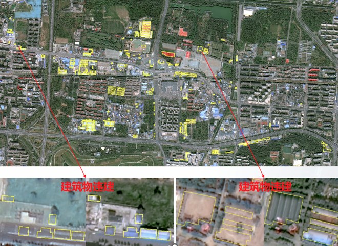
New Horizons in Remote Sensing, Full Intelligence in Interpretation | TIE-RSIS Intelligent Remote Sensing Interpretation System
Self-developed AI remote sensing large model system that enables intelligent, automated classification and interpretation of typical land cover elements and semantic-level change detection based on multi-source remote sensing imagery.
Read full articleProduct Business
Our company has independently developed multiple core products and holds nearly 100 software copyrights. Below are some representative achievements.
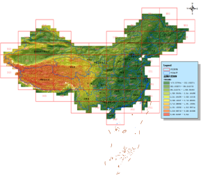
National DSM Data Products and Services
A full-process production system for realistic 3D scenarios, leveraging multi-source aerospace remote sensing imagery acquired through an integrated sky-air-ground approach. This system generates a comprehensive true 3D map of all land elements to support applications in natural resource survey and rights confirmation, ecological environment monitoring, agricultural surveys, forestry census, and water conservancy census.
View details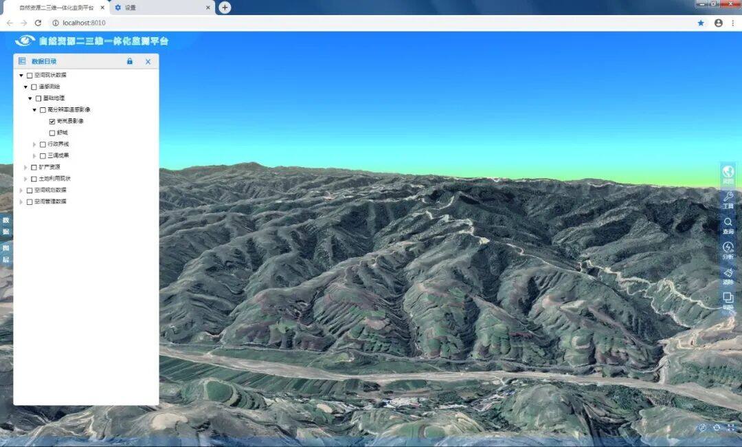
ID3Earth Realistic 3D Platform
A self-developed 3D application platform built on nationwide 10-meter DSM as the terrain base map, featuring rapid real-world 3D modeling, overlay and analysis of thematic data, and 3D spatial analysis. It serves as the 3D application layer for the national territorial space basic information platform.
View details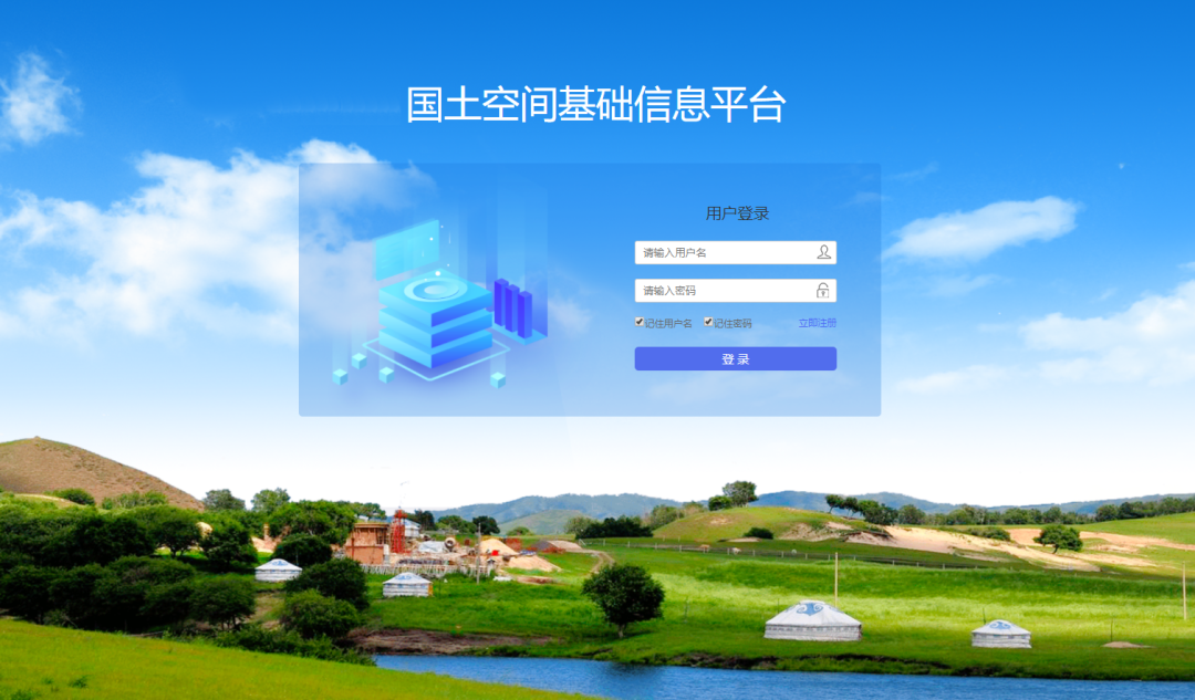
Territorial Spatial Basic Information Platform
A platform product developed in alignment with the Ministry of Natural Resources' requirements and project implementation outcomes. Built upon the "One Map" for natural resources, it upgrades capabilities to enable centralized and distributed management, scheduling, and services for foundational natural resource data, while facilitating data sharing and exchange with other government agencies.
View details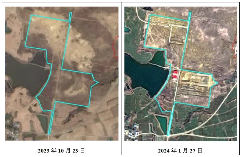
Software for dynamic change tracking and analysis of spatial data
Designed for users involved in data production, updates, database management, and land change surveys. Using an archived, incremental spatial database approach, it enables historical data tracing, offline editing, and incremental updates and maintenance across different data products.
View details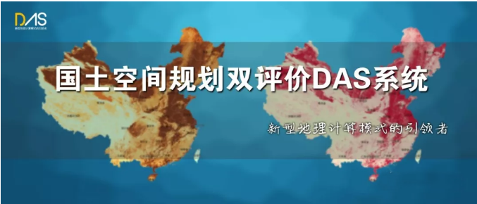
Land Space Planning Dual Evaluation DAS System
The Dual Evaluation System for Territorial Spatial Planning, developed in collaboration with Tsinghua University, automates indicator calculation, evaluation analysis, and map analysis. It generates relevant data and basic chart reports based on evaluation results to support scientific and standardized implementation of the dual evaluation process.
View details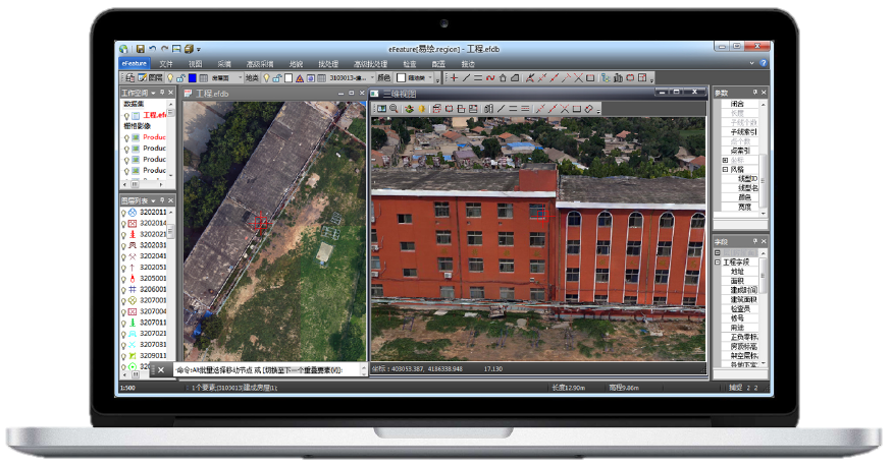
3D Intelligent Surveying and Mapping Software
Using 3D models as the data source, this solution enables stereoscopic mapping without glasses through synchronized display of 2D and 3D scenes. It supports rapid data integration, fast collection and editing, batch processing, quality control, result archiving, and map production. Applicable to land and housing integration surveying, land resource surveys, basic surveying and mapping, and real estate registration.
View detailsHonors & Awards
Multiple research achievements recognized by industry authorities
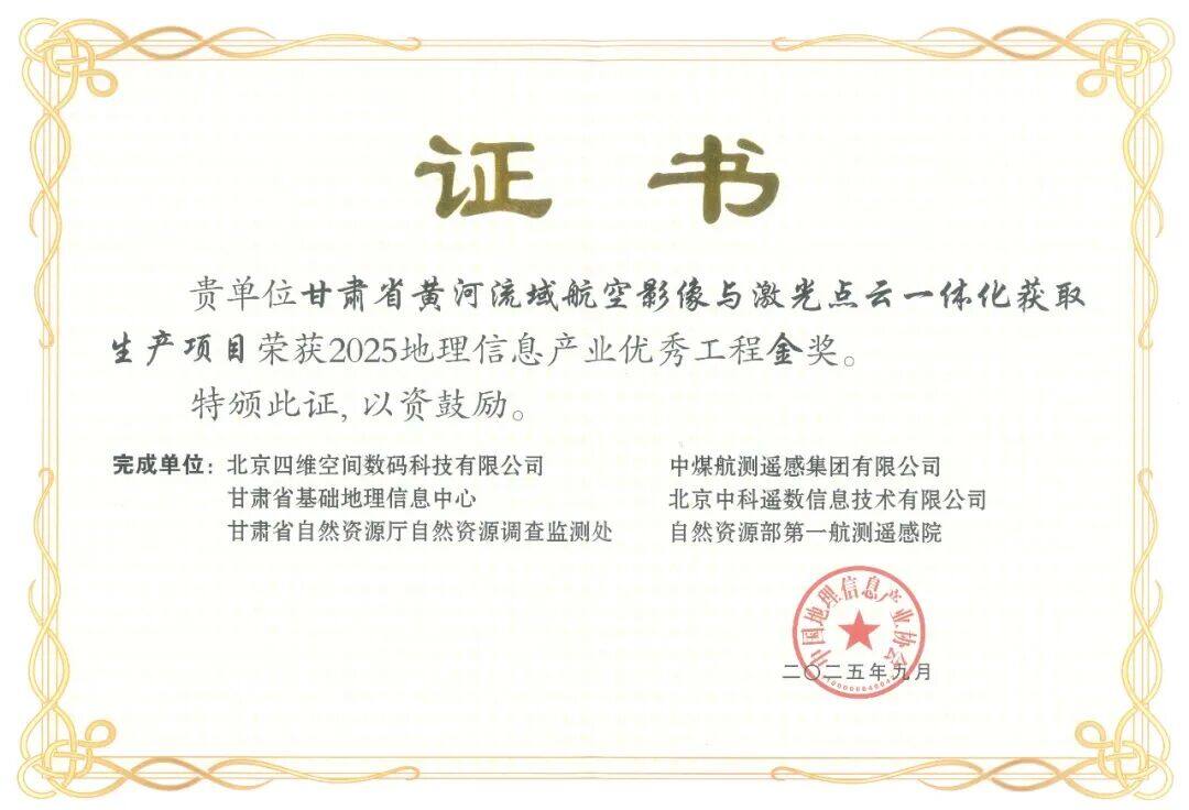
Gold Award for Excellent Engineering in China's Geographic Information Industry
Award-Winning Projects:Gansu Province Yellow River Basin Aerial Imaging and LiDAR Point Cloud Integrated Acquisition and Production Project
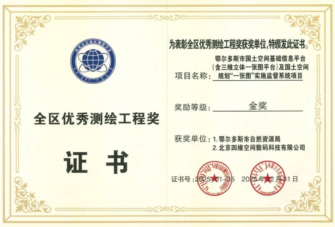
Inner Mongolia Autonomous Region Gold Award for Excellent Surveying and Mapping Engineering
Award-Winning Projects:Ordos City Territorial Spatial Basic Information Platform (including 3D Integrated Map Platform) and Territorial Spatial Planning "One Map" Implementation Supervision System Project
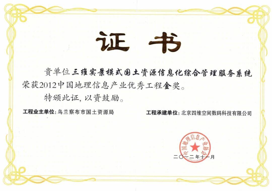
Gold Award for Excellent Engineering in China's Geographic Information Industry
Award-Winning Projects:3D Real-Scene Integrated Management Service System for Land and Resources Information
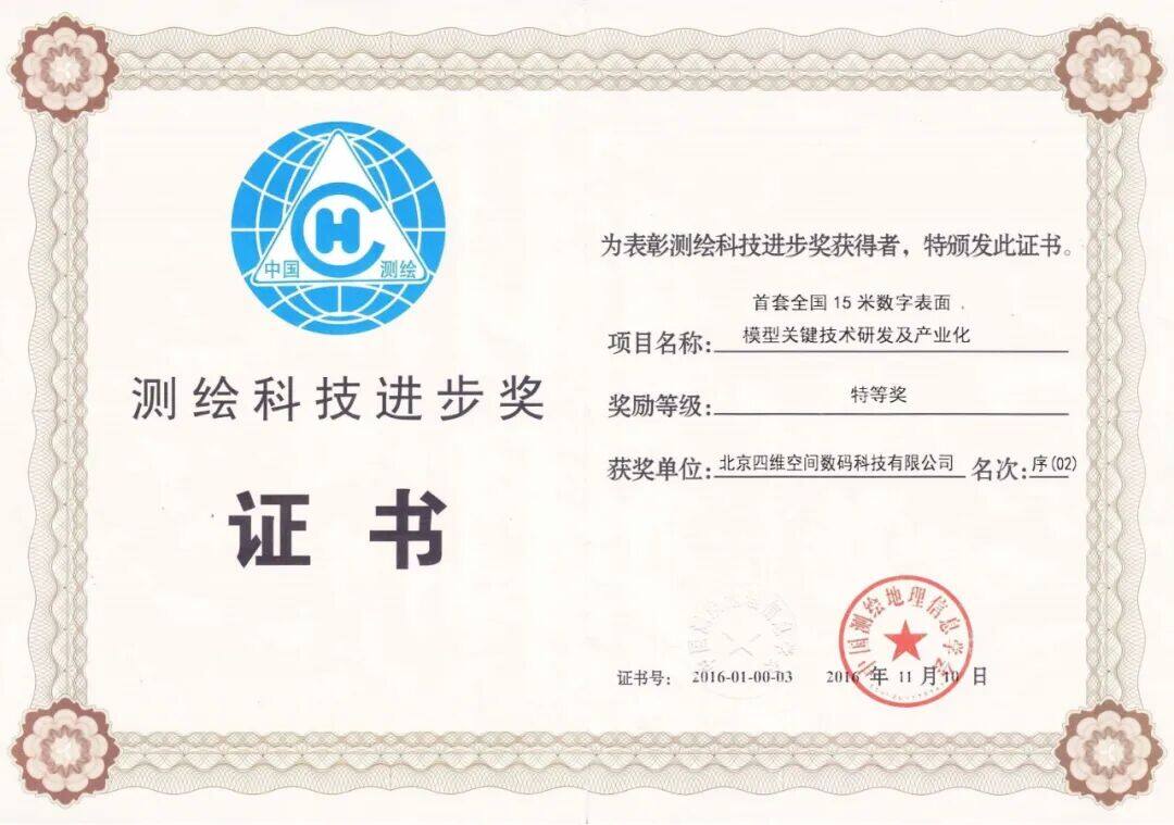
Special First Prize for Progress in Surveying and Mapping Science and Technology
Award-Winning Projects:Key Technology Development and Industrialization of China's First 15-meter Digital Surface Model