
News & Updates
Follow S四维Digital for company news, industry insights, and research breakthroughs. Stay updated on the latest developments in geospatial information.
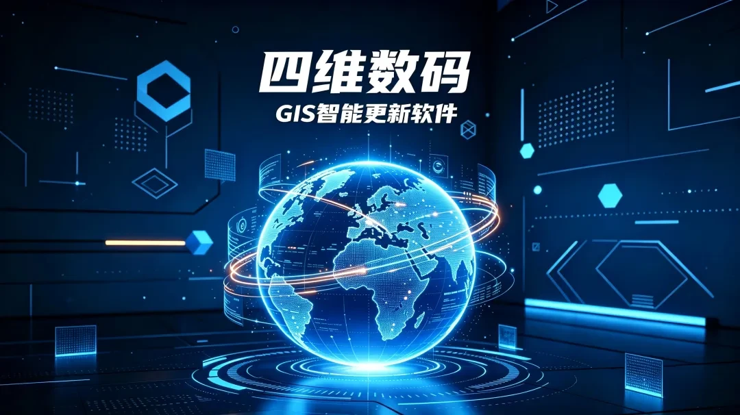
Tech Innovation: Say Goodbye to Inefficient Manual Mapping! The Era of AI-Driven Full Automation for GIS Data Updates Has Arrived
Beijing 4D Digital Technology Co., Ltd. proudly launches its GIS Intelligent Update software. Breaking away from traditional manual workflows, this solution is powered by fully automated event-driven listening and AI processing to automate the entire GIS data lifecycle—from collection, processing, conversion, and generalization to incremental updates. It unifies planning and terrain data updates and establishes a new model for synchronized map updates.
Read full article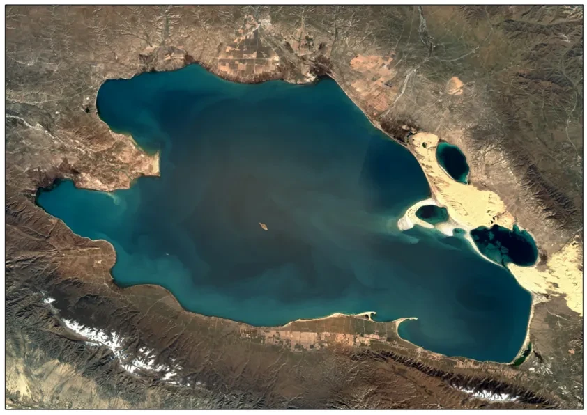
Break Industry Barriers! Tie-Ortho Enables Unattended, Full-Process DOM Mass Production Without Switching Between Multiple Software Tools
Tie-Ortho, a multi-source remote sensing image production software, has been deployed at a leading surveying and mapping authority in Northwest China. The system underwent full-process validation using nationwide data from domestic satellites including Luojia 3, GF7, and SVN3. After nearly 10 days of continuous field testing, the software's five core advantages—fully customizable unattended production, high-precision processing, extreme efficiency optimization, comprehensive automation, and low-barrier usability—have completely redefined traditional DOM production workflows. Perfectly suited for large-scale operations, Tie-Ortho has earned strong customer recognition.
Read full article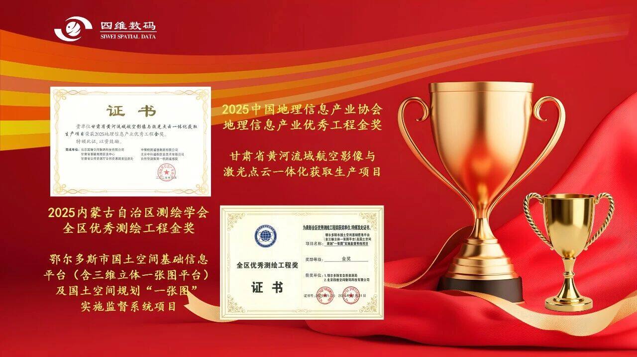
Awarded Excellence, Moving Forward with Honor: 2025 Company's Projects Win Two Gold Awards
Our company project stood out, winning the Gold Award for Outstanding Engineering Projects from the China Society for Geomatics and Mapping and the Gold Award for Excellent Surveying and Mapping Projects from the Inner Mongolia Autonomous Region Surveying and Mapping Association.
Read full article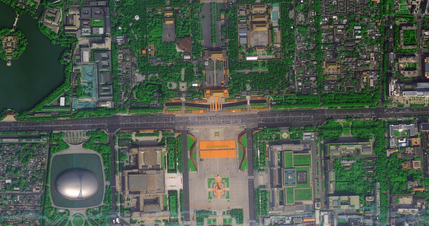
Proven Excellence: Tie-Ortho Software Debuts at a South China Regional Remote Sensing Institute, Precisely Solving Three Key Pain Points in Remote Sensing Image Processing
Recently, 4D Space Digital's Tie-Ortho remote sensing image production software was invited to a remote sensing institute in South China for a targeted trial. The session addressed real-world data processing challenges, effectively solving core pain points including substandard image accuracy, low efficiency, and poor fusion results.
Read full article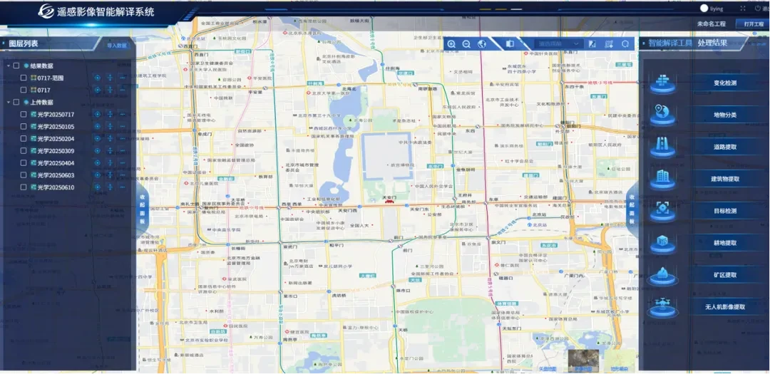
Reshaping Remote Sensing Interpretation | Domestic TIE-RSIS Software Achieves 82% Accuracy and 50x Efficiency Boost
TIE-RSIS, the remote sensing intelligent interpretation system launched by Beijing Siwei Space Digital Technology Co., Ltd., has achieved breakthrough advances in both accuracy and efficiency. Field tests show its overall performance significantly outperforms leading domestic competitors, with efficiency gains of up to 50x, drawing widespread industry attention.
Read full article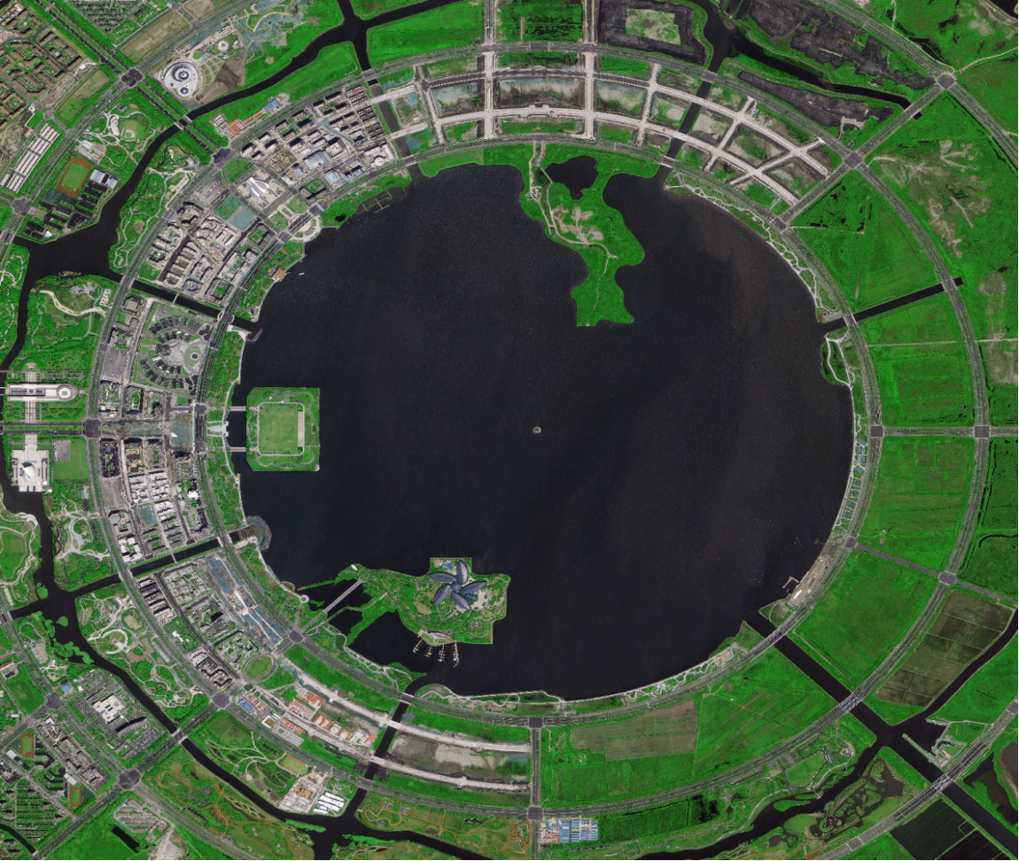
Domestic Remote Sensing Nuclear-Level Breakthrough! One System Outperforms Three; Wanjing Test Achieves Legendary Status
TIE-Ortho has been deeply deployed in core sectors such as natural resources and emergency management, achieving remarkable speed with "data processed immediately upon arrival" during multiple disaster response operations. Emergency management users directly noted: "Its accuracy in complex terrain outperforms imported software in understanding China's geography."
Read full article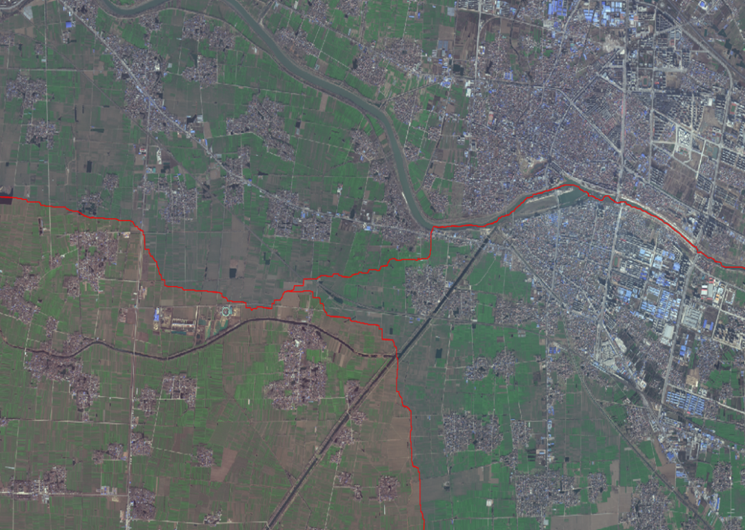
Say Goodbye to Manual Work, Embrace Batch AI Production | TIE-Ortho Multi-Source Remote Sensing Image Processing System
TIE-Ortho is a professional software for satellite remote sensing image production. It supports the full workflow of block adjustment, orthorectification, fusion, color balancing, and mosaicking, integrated with preprocessing steps to enable systematic, engineering-grade processing of remote sensing imagery.
Read full article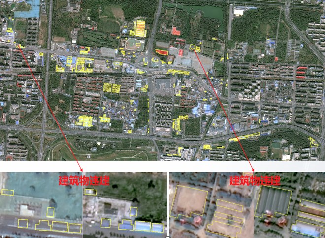
New Horizons in Remote Sensing, Full Intelligence in Interpretation | TIE-RSIS Intelligent Remote Sensing Interpretation System
TIE-RSIS, our proprietary AI remote sensing large model system, enables intelligent, automated, and rapid classification and semantic change detection of key features—including buildings, roads, vegetation, water bodies, ports, and farmland—using multi-source remote sensing imagery (e.g., optical images and drone data).
Read full article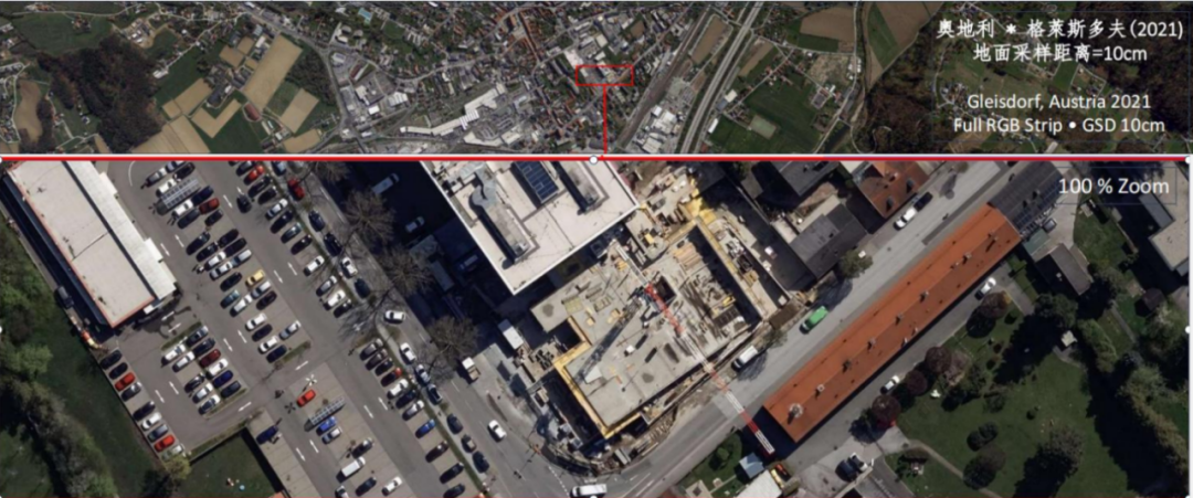
Breaking! The Groundbreaking "Sky Eye" is Here!
While satellites remain trapped in a vicious cycle of "high-resolution at exorbitant prices," a new ground-based "Sky Eye" is dropping a nuclear-level bomb on the aerial photography industry. With Eagle-Eye precision priced at just 50 per square kilometer, it combines 10cm high resolution with a monthly coverage of 15 million square kilometers, overturning industry logic and outperforming optical satellites.
Read full article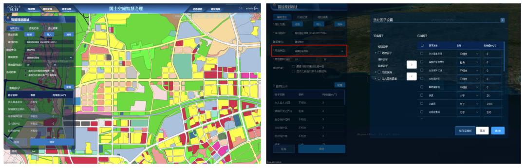
Smart Governance Solutions for Territorial Spatial Planning
Smart governance of land and space encompasses deep learning-based intelligent interpretation and extraction of remote sensing information, integrated "air-space-ground-network" smart supervision, the development of large-scale models for the natural resources sector, and the establishment of 3D reality-based scenarios for intelligent planning and three-dimensional control. These capabilities provide the technical foundation for transforming land and space governance toward full-area coverage, comprehensive coordination of all elements, and lifecycle management.
Read full article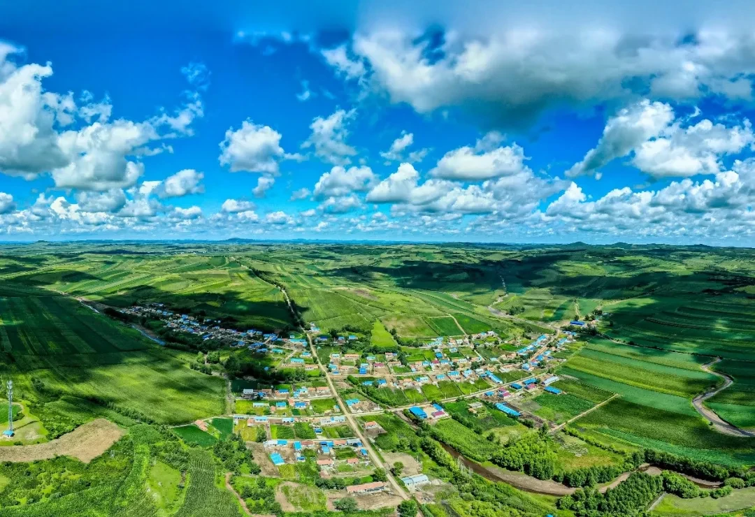
Love every landscape, protect every plot | Showcase of outstanding works in farmland protection
We continuously extract all satellite imagery features according to daily law enforcement standards, ensuring comprehensive and thorough coverage. We provide precise analysis services to improve feature accuracy, reduce local workload, and enhance the effectiveness of satellite-based law enforcement.
Read full article
Love every landscape, protect every land parcel: Photo contest for farmland protection activities
This call is open to professionals dedicated to farmland conservation. Submissions must depict harmonious scenes between people and nature. All participants will receive a精美 gift and a set of four-season satellite imagery of their village, while supplies last.
Read full article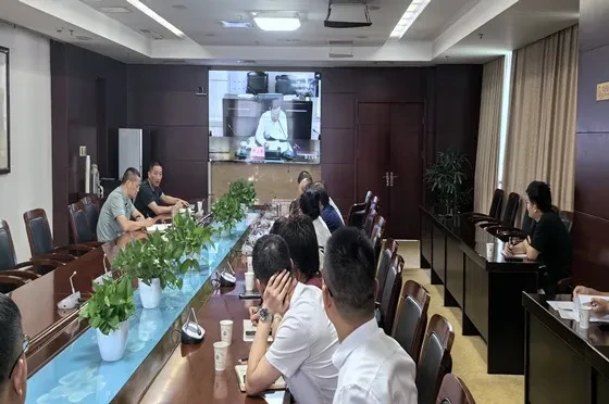
Ministry of Natural Resources convenes video conference on "promoting rectification of illegal land occupation for cultivation in local areas"
Starting this year, the Ministry has shifted its key focus toward stricter regulation. Routine enforcement is not being relaxed; it is becoming more stringent. Local authorities must strengthen routine monitoring and rapidly develop real-time monitoring capabilities to: (1) detect violations at their inception and eliminate them in the early stages, reducing the pressure on violation handling; and (2) integrate violation monitoring into daily operations, minimizing the burden of evidence collection during centralized processing.
Read full article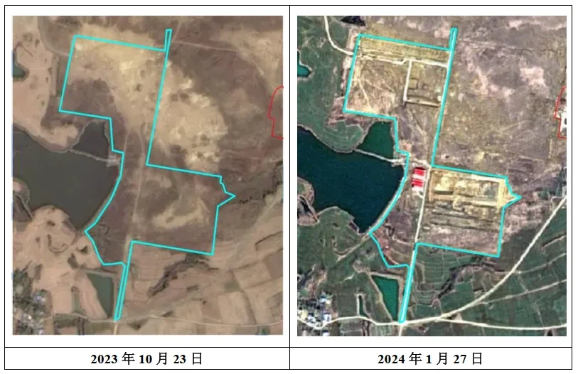
"Technical Seminar on Leveraging Satellite Image Monitoring as a New Quality Productive Force to Enhance Farmland Protection Success" Held Successfully
On 2024, 6, and 4, a technical exchange meeting on "Leveraging Satellite Image Monitoring as a New Quality Productive Force to Enhance Farmland Protection" was held at Beijing Yulong Yuli Hotel. The event was supported by the Land Satellite Remote Sensing Application Center of the Ministry of Natural Resources, the Chinese Society for Geodesy and Photogrammetry, and the China Association for Geographic Information Industry, and hosted by Beijing S4D Digital Technology Co., Ltd.
Read full article
Notice No. 2 on Convening the Technical Exchange Meeting: "Leveraging New Quality Productive Forces in Satellite Image Monitoring to Enhance Cultivated Land Protection"
This meeting will cover interpretation of new tasks and requirements for satellite image monitoring, standardized production techniques for monitoring patches, integration approaches between satellite monitoring and routine change surveys, service models for satellite monitoring, and experience sharing from typical user organizations.
Read full article4D Digital completed the delivery of Q2024 satellite monitoring results on schedule
2024 Annual Four-Dimensional Digital, in collaboration with the National Land Satellite Remote Sensing Application Center of the Ministry of Natural Resources, continued to provide satellite image monitoring services to users in accordance with national satellite image law enforcement regulations. We have successfully delivered the first-quarter monitoring results this year, serving more than 30 municipal and county-level natural resources departments across Beijing, Inner Mongolia, Jiangsu, Anhui, Guangdong, and other regions.
Read full articleLearn more about business partnerships?
Welcome to the Marketing & Sales Department. Leave a message or contact us online, and we'll get back to you as soon as possible.
Contact Us